Photo Gallery
The below images are additional images of Allan Lake and its surrounding area.
Daisy and the survey equipment on day 1 of the survey
A side view from the east side of the lake looking west
Picture of Allan Lake Tank, used as a landing for loggers in the past.
A view of the test restoration plot done by the forest service.
Inside the north side of the wagon wheel looking to the east
Image of the road that runs parallel to the southern side of the wagon wheel, flooded during mid Febuary.
Image of the frozen lake, mid Febuary one of the reasons we were behind schedule.
Another image of the flooded site during Febuary.
Image from the southern side of the wagon wheel looking west, mid Febuary
Lake is still flooded, late Febuary.
Image of Skylar and Gabe Surveying. Brando and Kit in the way back collecting soil.
Gabe weighing stuff.

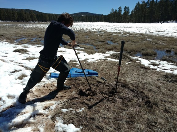
Gabe got the soil bore Auger stuck about 5 feet down.

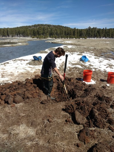
2 hours into digging the Auger out.

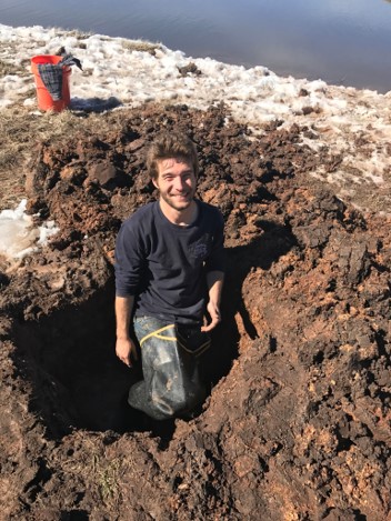
Finally able to pull the Augar out, Still dug down about another foot.
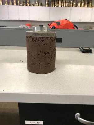
Soil Profile

Further frustrations with the clay, it would take the extactor head off of the proctor extractor.